Forensic
Truth-Infrastructure
for a Transparent Planet
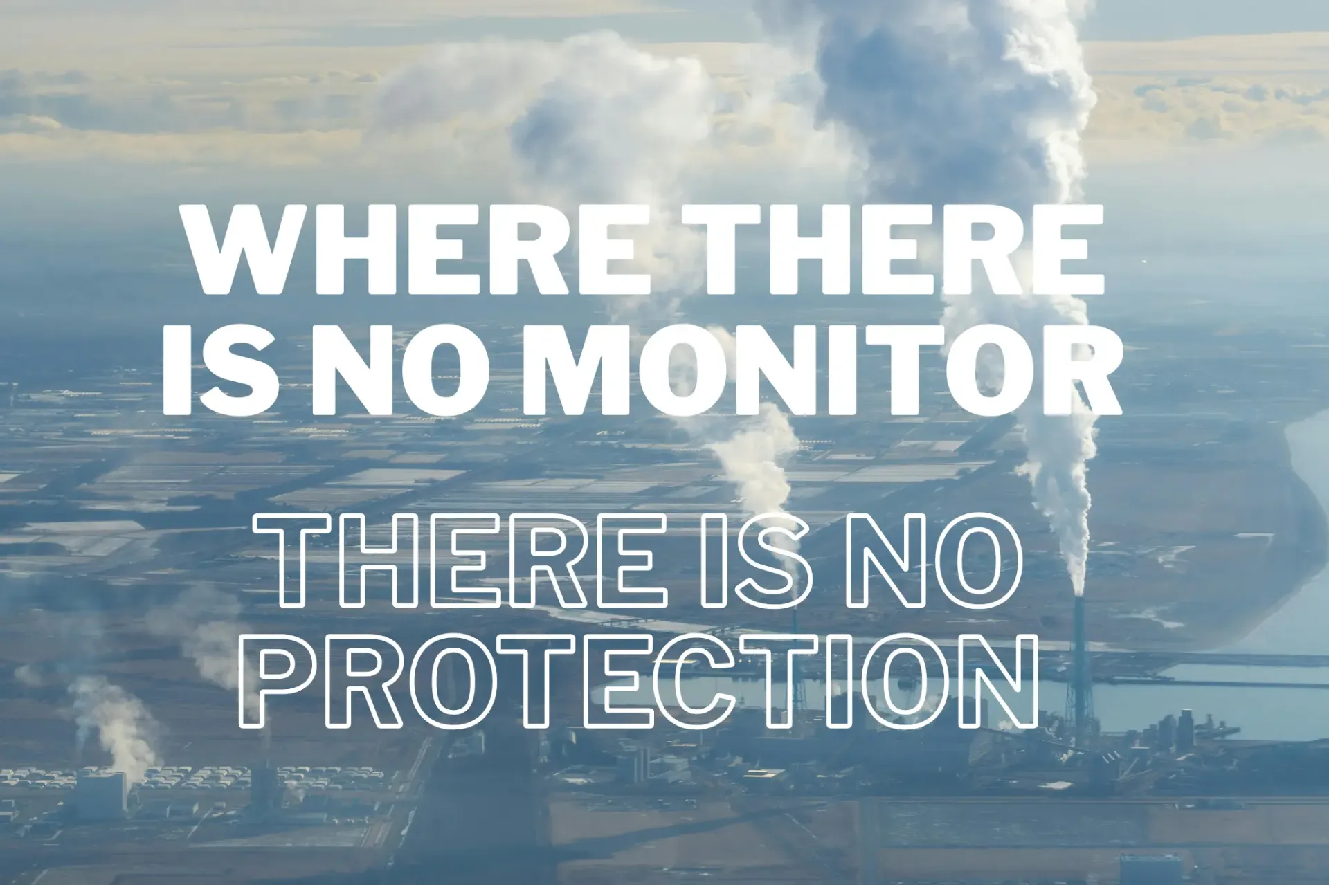
We decode Data Silence in industrial landscapes — making the invisible visible through satellite forensics, open-source intelligence, and community documentation.
Learn More

NEXUS POINTS DOC
PROJECTS
Forensic Environmental ResearchLatest Updates


Projects
Pilot Project
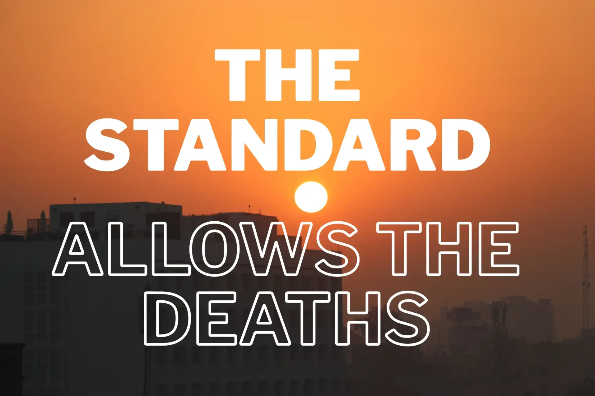
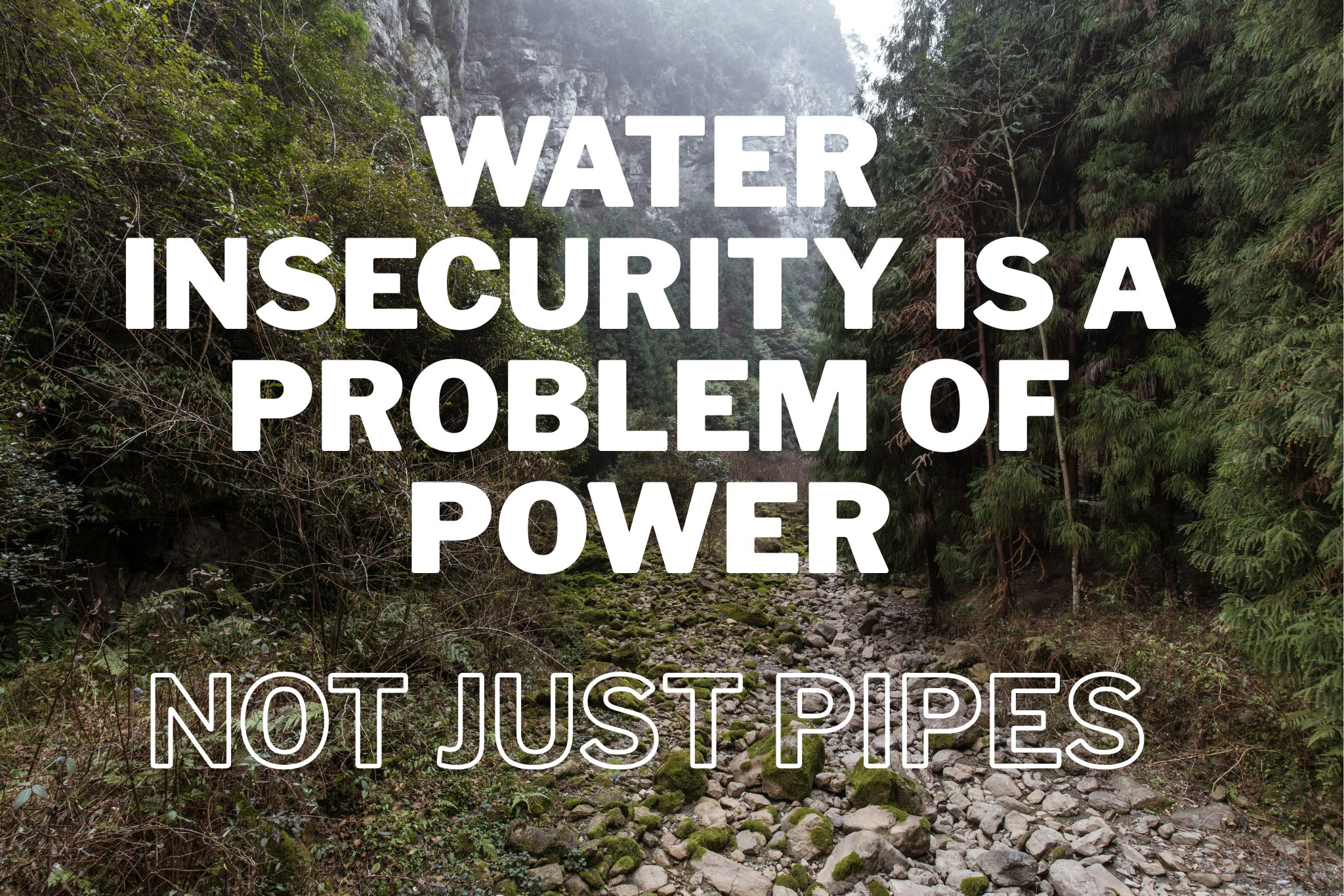
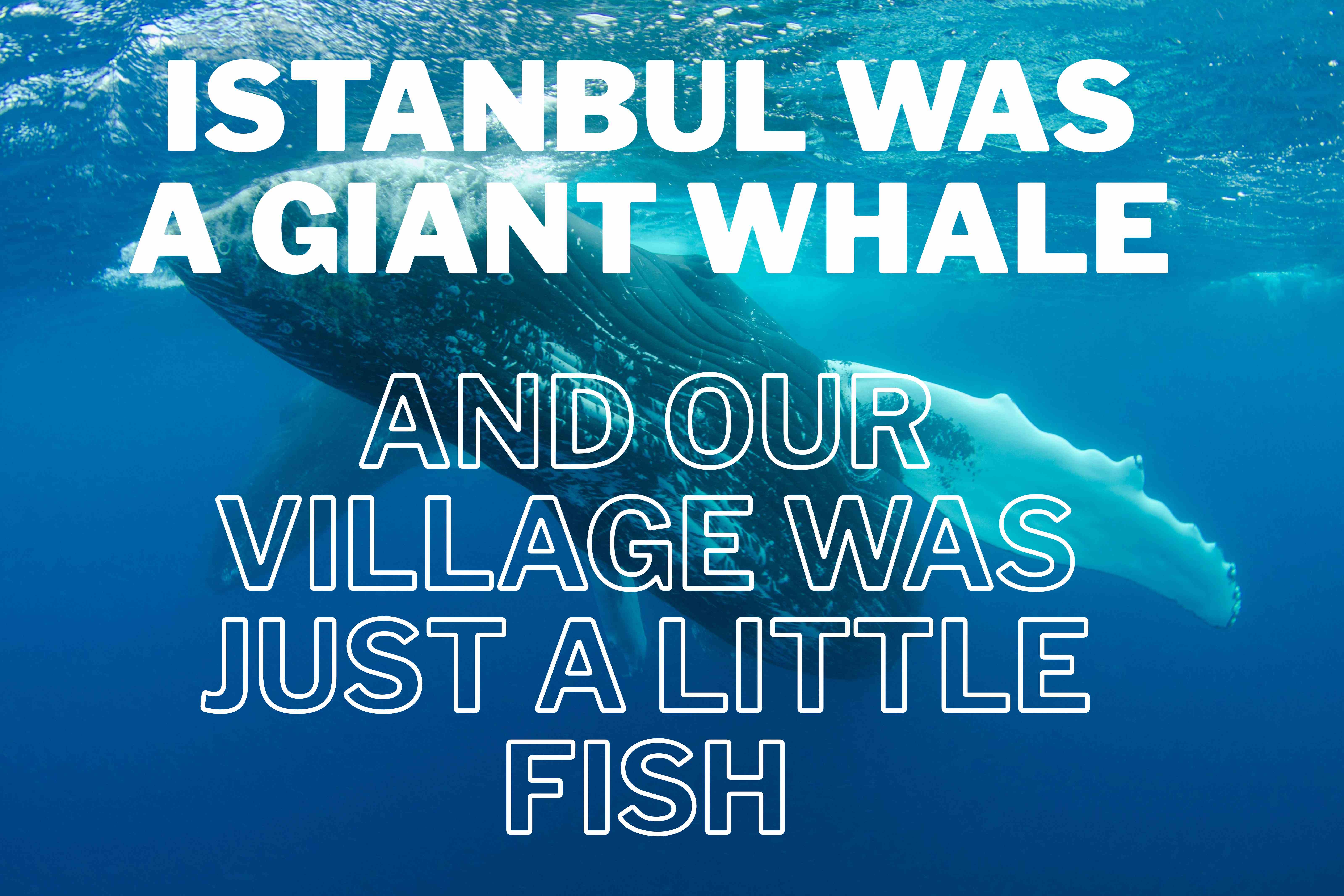
The River Remains
A forensic documentary investigation into critical industrial river basins worldwide — where communities have documented contamination for decades, and the data officially doesn't exist. Currently under strategic festival embargo. World premiere forthcoming.
Community
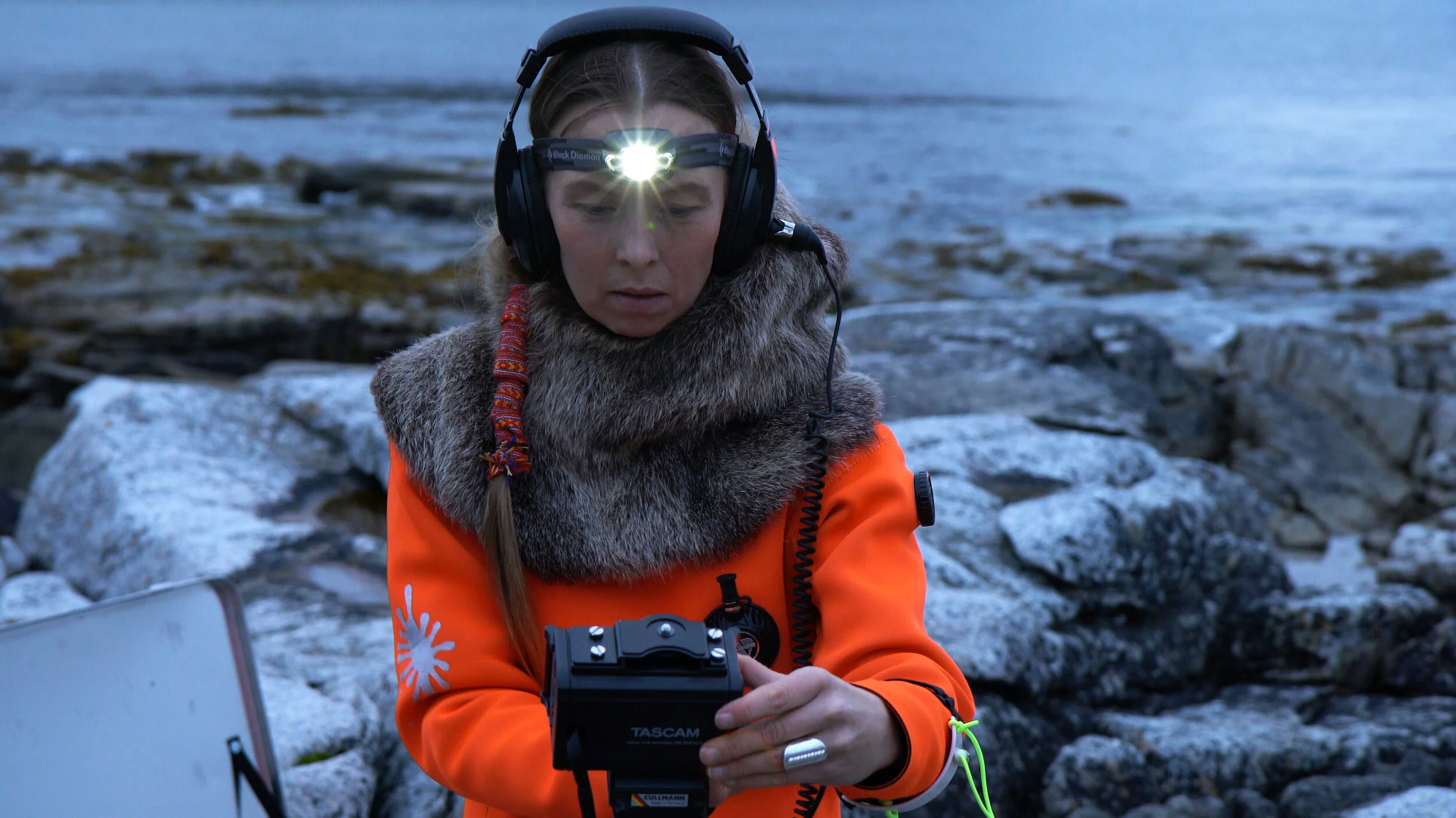
Youth Sentinels: Decentralized Ecological Vigilance
Empowering the Next Generation of Environmental Guardians.
Youth Sentinels Global Fellowship is a global programme launching September 2026. 100 candidates undergo 8 weeks of forensic environmental methodology training. Eight fellows are selected for intensive field work across global river basins — the Amazon, the Nile Delta, the Ganges, and the Sakarya. Their work culminates in an international traveling exhibition.
The Youth Sentinels represent a paradigm shift in environmental monitoring, bridging the critical gap between high-altitude satellite reconnaissance and the nuanced reality of ground-level field conditions.
Status
Deployment Phase / Scheduled 2026
Objective
Ground-level accountability through forensic training
Technology
Digital Forensic Archive: Spatio-Temporal Intelligence
Synthesizing High-Resolution Data for Institutional Accountability.
A robust technological ecosystem that integrates Planet Labs high-resolution satellite imagery with sophisticated GIS modeling to document ecological degradation with forensic precision. By maintaining a rigorous "Truth-Infrastructure," the archive translates complex environmental shifts into actionable, evidence-based dossiers.
Our forensic data infrastructure combines Planet Labs satellite imagery, open-source intelligence, and community testimony to produce legally admissible environmental evidence. Every evidence package is SHA-signed and chain-of-custody authenticated — usable in courts, regulatory proceedings, and investigative journalism. The archive is publicly accessible and continuously updated.
Status
Operational Core
Methodology
Multitemporal Satellite Analysis & Geospatial Verification
Technology
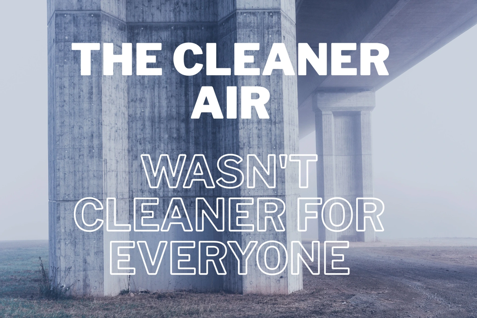
Environmental Mobility Index (EMI)
Independent urban environmental accountability through satellite forensics.
EMI maps the intersection of pollution corridors and urban mobility infrastructure across cities using satellite imagery and open-source data. Where people cannot breathe freely and where people cannot move freely are almost always the same places. EMI makes that overlap visible — for city governments, insurers, urban planners, and communities.
Status
In Development
Category
Technology
Methodology
Satellite Testimony
Legally admissible environmental evidence from data-silent regions.
Satellite Testimony pairs longitudinal satellite imagery analysis with structured community oral testimony through a correspondence protocol designed to meet legal admissibility standards. Every evidence package is SHA-signed and chain-of-custody authenticated — usable in courts, regulatory proceedings, and investigative journalism. No comparable methodology currently exists.
Status
Operational
Category
Methodology
Proof of Work
A long-form investigative series examining organisations that have genuinely restructured their operations around accountability — not just their communications. Each volume focuses on one sector and one organisation. Six researchers, four to six weeks of independent work, publication across Europe and the MENA region.
Read MoreAbout Us
Nexus Points Doc is a youth-led forensic research platform operating at the intersection of environmental justice, digital accountability, and investigative storytelling.
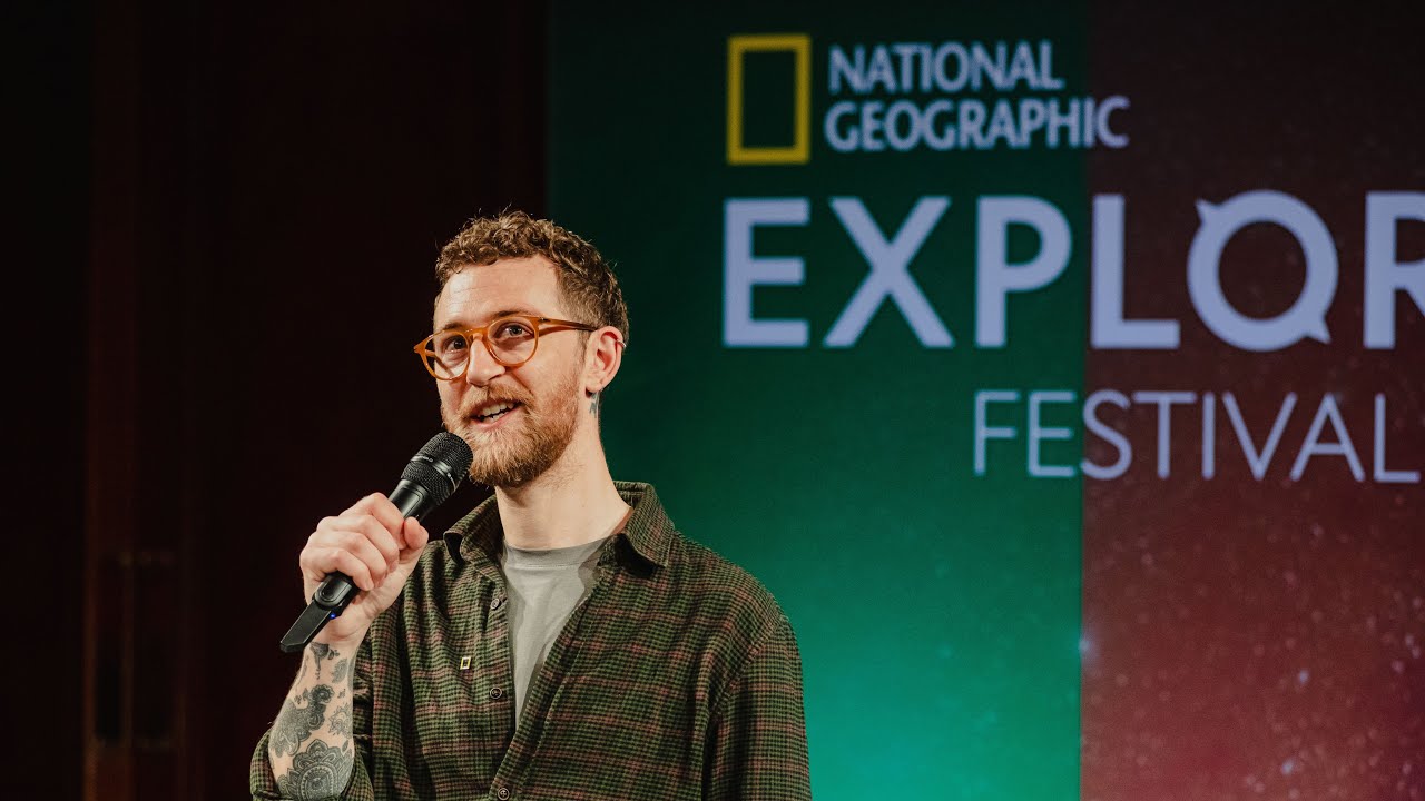
Founded by Ömer Kulak — political scientist, Mercedes-Benz beVisioneers Fellow, and National Geographic Grantee — Nexus Points Doc was selected from 14,000 global applicants by the National Geographic Society and The Nature Conservancy.
Forensic Truth-Infrastructure
We build Forensic Truth-Infrastructure: independent verification systems combining satellite forensics, open-source intelligence, community documentation, and cinematic storytelling to produce environmental records where official data is absent or compromised.
International Advisory Board
Our research integrity is upheld by an International Advisory Board of 30+ scholars from Yale, Oxford, Goldsmiths, and Forensic Architecture — ensuring our methodology is both academically rigorous and institutionally credible.
Meet Our Advisors"We do not just document landscapes. We decode the political scripts written into the earth — transforming Data Silence into planetary accountability."
Contact
Get In Touch
We welcome collaborations, partnerships, research inquiries, and media requests